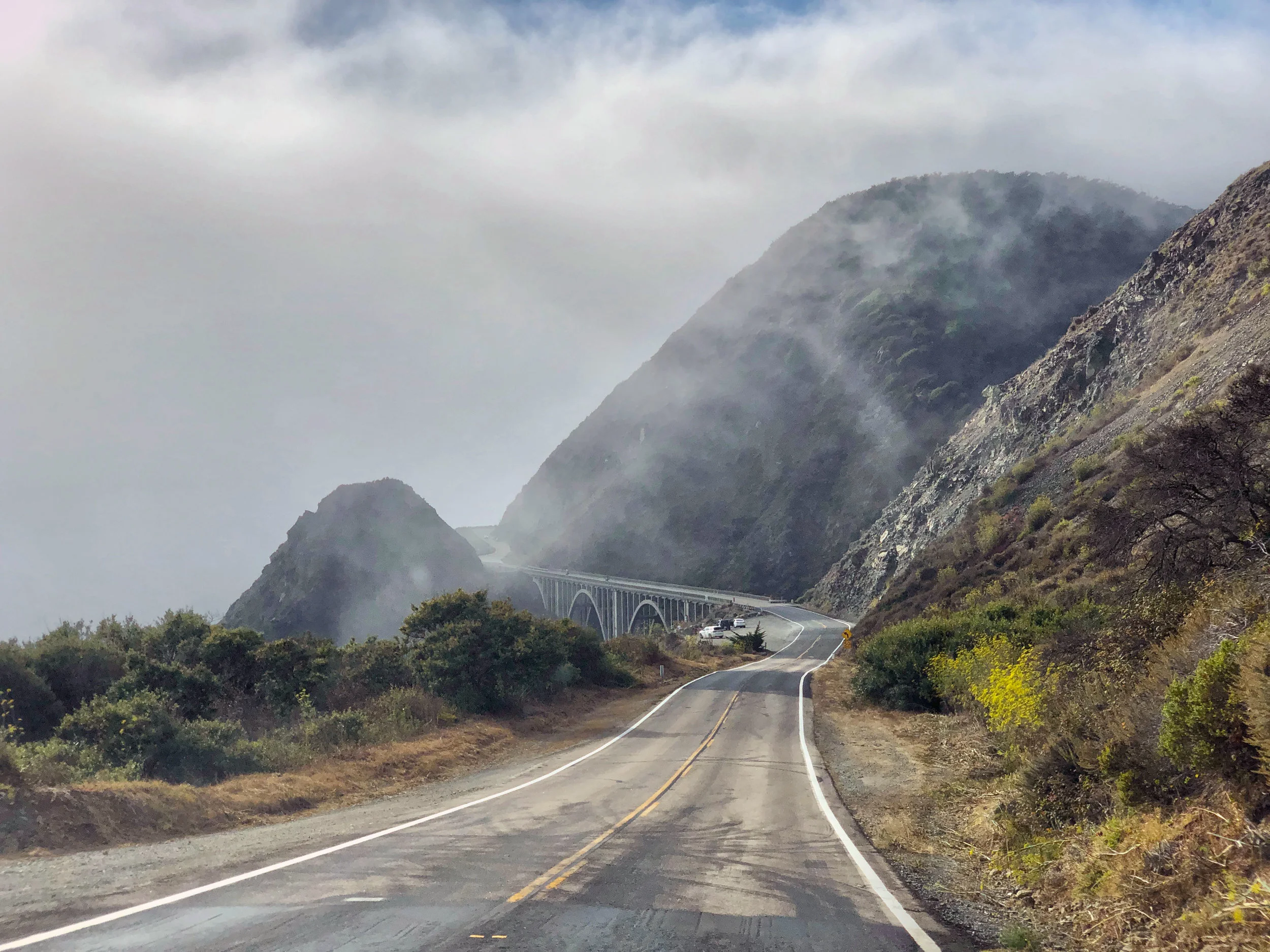
Few coastal roads in California are as delicate as the stretch of Highway 1 from Carmel to San Simeon. Big Sur was impassable by car and unknown to tourism until it’s dedication ceremony in June of 1937. Road closures are frequent due to rock slides and road damage from storms.
The road is an engineering marvel built in the depths of the great depression. Its spectacular vista point pull-outs and graceful bridges spanning deep verdant canyons, it is the most neglected visual element of the staggering beauty of the Big Sur coastline.
Even before Highway 1 opened, people came here to seek solitude and grandeur. The earliest sightseeing visitors used routes developed by the pioneers, some of which followed old trading and travel routes used by Native Americans.*
Big Sur’s timeless landscape compelled California legislators to cater to the growing automobile-based tourism of the 1920s by penetrating the isolated Big Sur with the Carmel-San Simeon Highway, later known as Highway 1.**
*The Natural History of Big Sur by Paul Henson and Donald J. Usner, University of California Press
**Big Sur, The Making of a Prized California Landscape by Shelley Alden Brooks, University of California Press
Keeping Highway 1 open after winter storms
Big Sur Landslide on May 20, 2017
Landslides and bridge maintenance after winter storms threaten road closures every spring. A massive mudslide at Gorda closed Big Sur for 14 months, the longest in the history of the Big Sur coastline.
www.usgs.gov
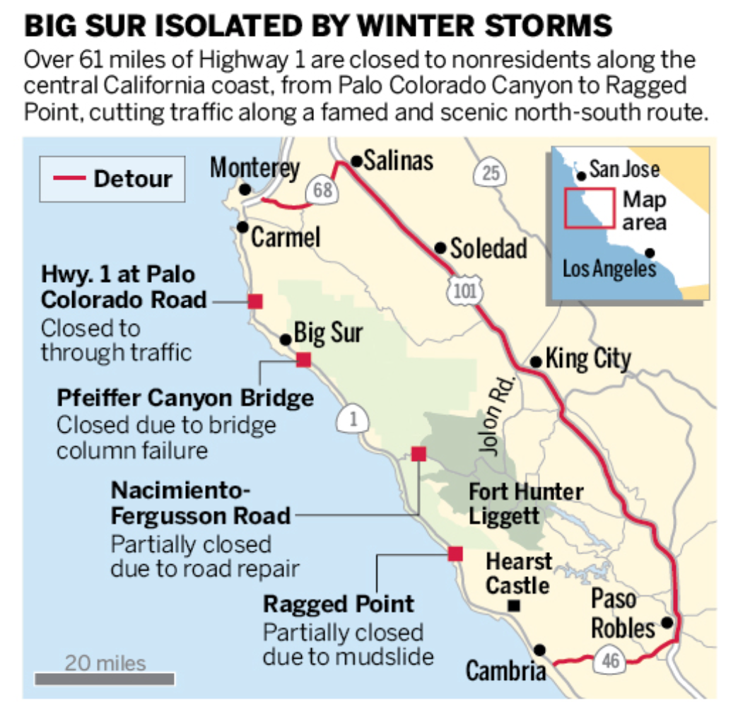
The winter of 2017 was an exceptionally bad for the road through Big Sur
Source: Caltrans/mercurynews.com
The Road and the Road not Taken: Building a four-lane freeway through Big Sur
In 1956 President Eisenhower designed the Federal-Aid Highway Act to facilitate national transportation and provide for national defense.
California state legislators responded to Eisenhower’s initiative with a highway plan that would link recreational areas throughout the state with new and expanded roads. In Sacramento, plans were under way to turn the highway through Big Sur into a four-lane freeway… The proposal also called for straightening the highway for travel at faster speeds, ignoring the lay of the land. (Big Sur, The Making of a Prized California Landscape by Shelley Alden Brooks)
Highway 1, looking south from Nacimiento-Fergusson Road


